
Images
Gulf Of Thailand Pictures, Images and Stock Photos
Browse 8,400+ Gulf Of Thailand stock photos and images available, or search for typical of thailand or thaipusam to find more great stock photos and pictures.


Offshore oil and gas central operation process platform, oil and gas petroleum will process flow to onshore operation plant, located at Golf of Thailand, photo take on May 15, 2016


Ao Phrao Beach Koh Kood Island Thailand Trat, tropical beach with palm trees and a turqouse colored ocean on a sunny day, Ko Kut Island with coconut palm trees on the beach
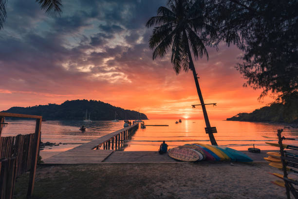
Beautiful sunset over tropical sea and wooden bridge, sightseeing boat and tourist enjoying in Koh Kood beach, Thailand


Offshore construction platform for production oil and gas in gulf of Thailand with sunset sky
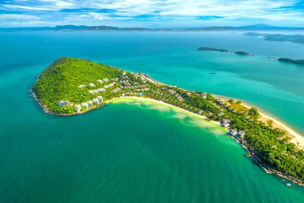
Small tropical island in the ocean with many resorts, aerial view of Ong Doi island in Phu Quoc, Kien Giang, Vietnam
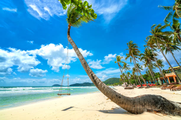
Swing attached to a palm tree in the idyllic Sao beach in Phu Quoc island, Vietnam. Sao beach is one of the best beaches of Vietnam.
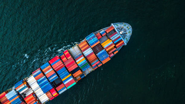
Cargo ship in import export and business logistic, Logistic and transportation of International Container Cargo ship in the open sea, Aerial shot from drone, Thailand.

A Couple of Asian Thai women and European men on a beach with a swing at Koh Kood Trang, Tropical Island Koh Kood or Koh Kut Thailand.
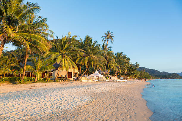
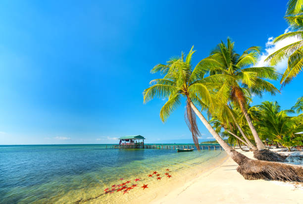
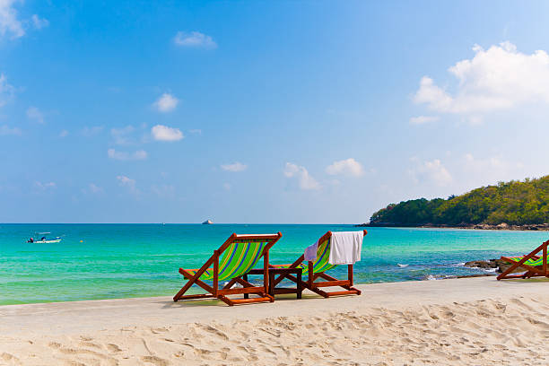
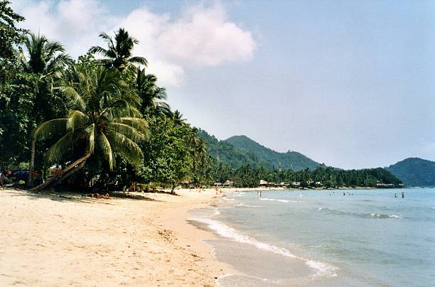
White sand beach in Koh Chang, a popular island on the gulf of Thailand in Thailand.
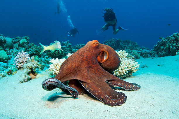
Red Octopus on coral reef in the Red Sea in clear blue water with scuba divers behind
Coconut tree on Sairee beach at sunset, Koh Tao island, surat thani ,Thailand


Sparkling Blue Ocean Water in Koh Samui Thailand

Amazing beach bar or cafe under the palm trees on the very coast of the Indian ocean on Maldive island. Pure paradise.


Ha Tien Peninsula is famous in mekong delta, vietnam.
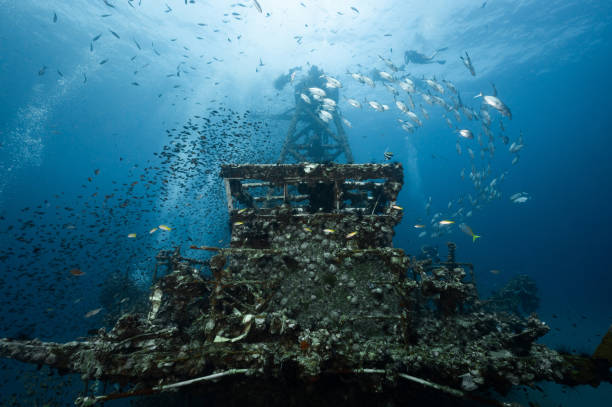
Underwater shot of HTMS Chang wreck ship with school of fish and scuba divers. The ship built for the US Navy during World War II. A scuba diving shipwreck dive site near Koh Chang in Trat, Thailand.

Scenic concrete road along paradise Ban Krut beach at Bang Saphan district of Prachuap Khiri Khan province of Thailand.
Seascape with tropical palms on beautiful sandy beach in Phu Quoc island, Vietnam. This is one of the best beaches of Vietnam.

Beautiful small sea bird, adult Spoon-billed sandpiper and other sea birds, low angle view, front shot, in warm light morning walking and foraging along the coastline of the Gulf of Thailand, in nature of tropical climate, central Thailand.

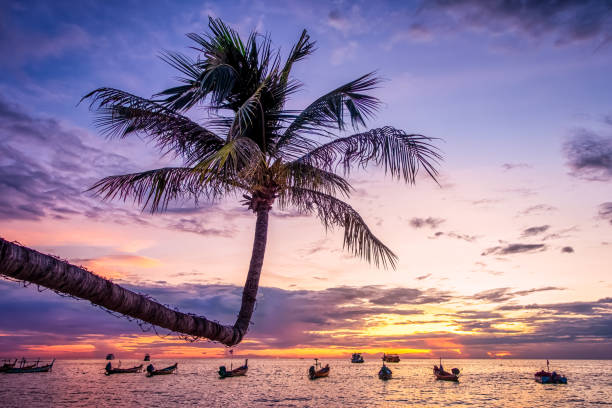
In Koh Tao, Thailand on Sairee Beach a sideways growing palm tree is backlit by the sunset. Longtail boats in silhouette can be seen in the background.

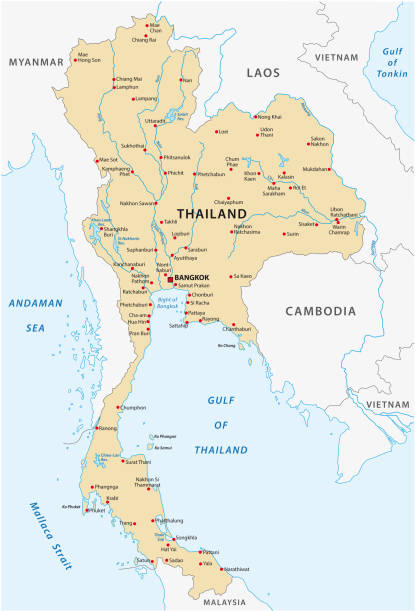
Thailand Political Map with capital Bangkok, national borders, most important cities, rivers and lakes. English labeling and scaling. Illustration.

The Beach At Hua Hin In Thailand With A Large Golden Standing Buddha Statue In The Background

Map of Thailand. Selective Focus.

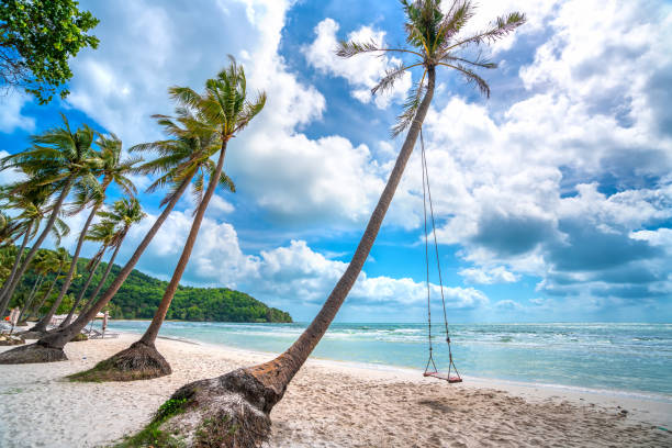
Swing attached to a palm tree in the idyllic Sao beach in Phu Quoc island, Vietnam. Sao beach is one of the best beaches of Vietnam.

Map of Thailand. Selective Focus.

Offshore oil and gas central operation process platform, oil and gas petroleum will process flow to onshore operation plant, located at Golf of Thailand, photo take on 10/25/2014

The Dji Mavic Pro Drone over the Gulf of Asia on Koh Phangan, Thailand.

Koh Samet is an idyllic island about 200km south-east of Bangkok and around 6 km off the coast of Rayong province. Its beautiful beaches especially in the north-east of the island have been described as having the whitest sand in the kingdom


3D Render of a Topographic Map of Thailand, Asia. All source data is in the public domain. Color texture: Made with Natural Earth. http://www.naturalearthdata.com/downloads/10m-raster-data/10m-cross-blend-hypso/ Boundaries Level 0: Humanitarian Information Unit HIU, U.S. Department of State (database: LSIB) http://geonode.state.gov/layers/geonode%3ALSIB7a_Gen Relief texture and Rivers: SRTM data courtesy of USGS. URL of source image: https://e4ftl01.cr.usgs.gov//MODV6_Dal_D/SRTM/SRTMGL1.003/2000.02.11/ Water texture: SRTM Water Body SWDB: https://dds.cr.usgs.gov/srtm/version2_1/SWBD/
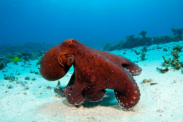
Octopus on a coral reef in the Red Sea in clear blue water

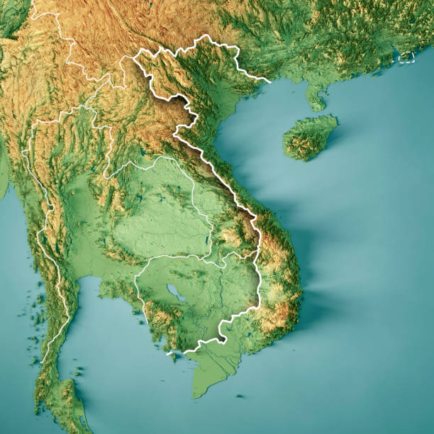
3D Render of a Topographic Map of Vietnam. Version with Country Boundaries. All source data is in the public domain. Color texture: Made with Natural Earth. http://www.naturalearthdata.com/downloads/10m-raster-data/10m-cross-blend-hypso/ Relief texture: SRTM data courtesy of NASA JPL (2020). URL of source image: https://e4ftl01.cr.usgs.gov//DP133/SRTM/SRTMGL3.003/2000.02.11 Water texture: SRTM Water Body SWDB: https://dds.cr.usgs.gov/srtm/version2_1/SWBD/ Boundaries Level 0: Humanitarian Information Unit HIU, U.S. Department of State (database: LSIB) http://geonode.state.gov/layers/geonode%3ALSIB7a_Gen

Haad Rin, Ko Phangan, Thailand - August 29, 2007: A Thai woman sells buckets of soft drinks and liquor to visitors celebrating the monthly Full Moon Party in Haad Rin, a beach destination on the island of Ko Phangan, Thailand
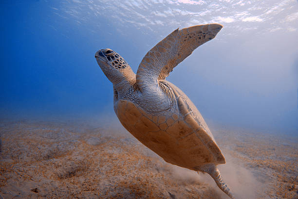
turtle underwater starting from the bottom in Red Sea, Egypt

Sunny beach in the pearl island of Phu Quoc, Vietnam. The place remains unspoiled for ecotourism and exploration

3D Render of a Country Map of Thailand with the Administrative Divisions. Made with Natural Earth. https://www.naturalearthdata.com/downloads/10m-cultural-vectors/ All source data is in the public domain.


Beautiful tropical Thailand island panoramic with beach, white sea and coconut palms for holiday vacation background concept

Otres beach in the early morning light located in Sihanoukville by the Gulf of Thailand in Cambodia.
In January 2016, a group of tourists was diving in Ao Leuk Beach, Koh Tao, Thailand

Beautiful small sea bird, adult Spoon-billed sandpiper, low angle view, side shot, in warm light morning walking and foraging along the coastline of the Gulf of Thailand, in nature of tropical climate, central Thailand.

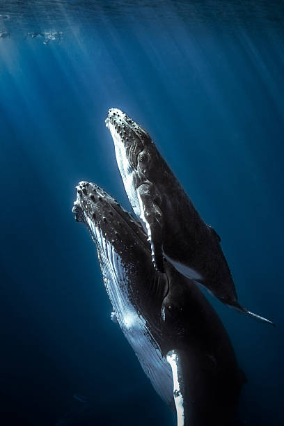
Bryde's whale feeding in Petchburi , Thailand
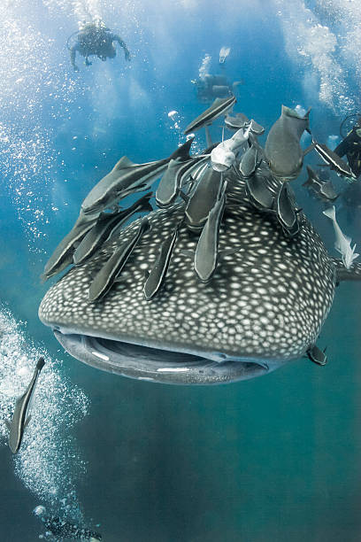
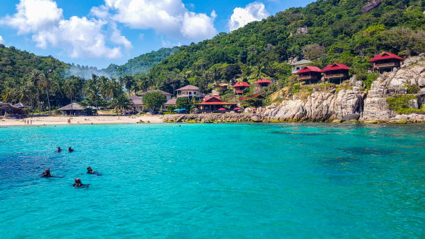
Koh Tao, Thailand - May 18, 2009: A Whaleshark followed by un-indentified scuba divers near the island of Koh Tao on May 18, 2009. Koh Tao in the Gulf of Thailand is a popular destination for new divers.

Thailand political map, from Ko Tao and Ko Samui to Phuket and Phi Phi Islands. Travel destinations west and east of Malay Peninsula, off the coast of Thailand, with most important islands and cities.

"The Beach In Hua Hin, ThailandSimilar Beach Images:"
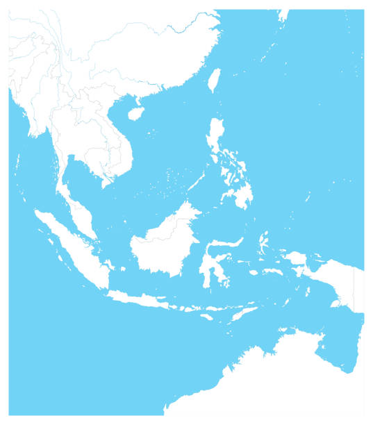
Southeast Asia Outline Map. Vector illustration.
Tropical Lonely Beach, surrounded by palm trees in Koh Chang's west coast, Thailand

Political vector map of Thailand with all regions and their capitals. EPS 10

Next