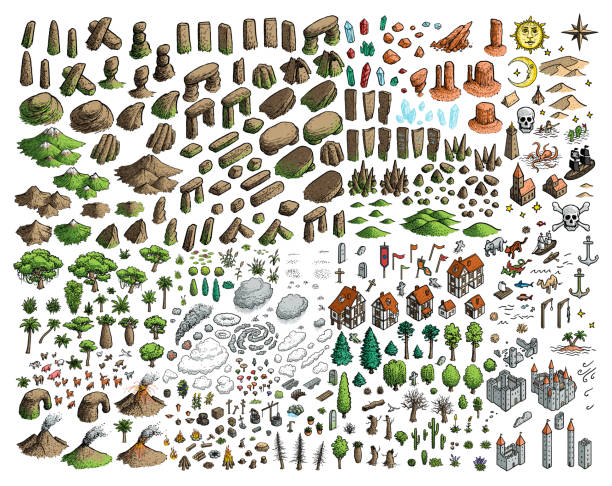
Hand drawn vector illustration.
Browse 40,500+ map of europe vintage stock illustrations and vector graphics available royalty-free, or start a new search to explore more great stock images and vector art.
Hand drawn vector illustration.

Old vintage map of Mediterranean sea, pirate sailing and treasure island, antique vector. Map of Mediterranean sea with fantasy monsters and seafaring ship plan in Europe with compass wind rose

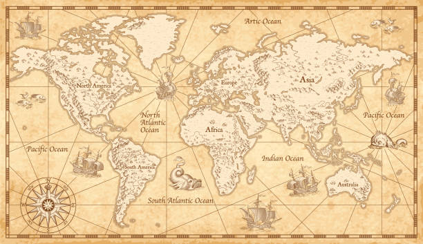
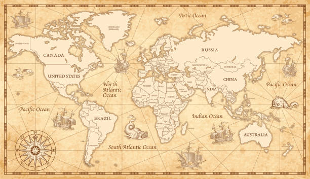
Vintage map of Europe, vector ancient parchment with european continent, mountain ranges, rivers and lakes, ocean wind rose, mythological sea beasts, ship, medieval territory on aged old paper

from out-of-copyright 1898 book "Blackie's Modern Cyclopedia of Universal Information".

A set of scrolls, flags, paper banners and parchment ribbons in a vintage retro woodcut style
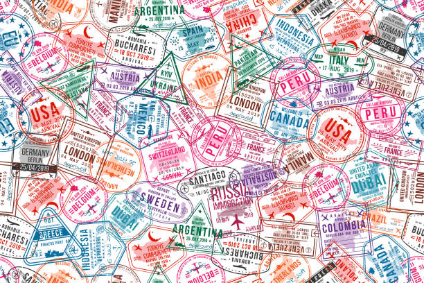
Passport visa stamps, seamless pattern. International and immigration office rubber stamps. Traveling and tourism concept background. Vector
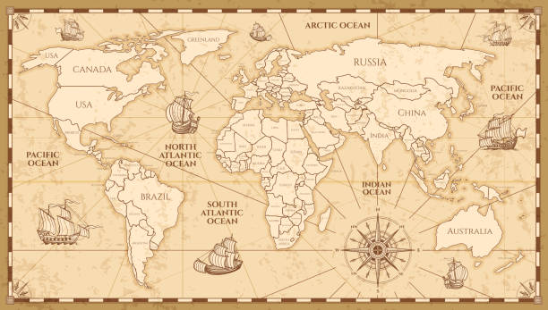
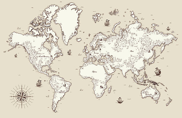
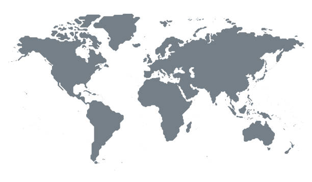
Vector antique world map with countries boundaries. Antique world vintage map, grunge america and europe illustration

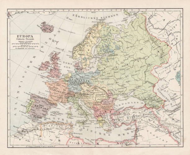
Historic map of Europe from out-of-copyright 1898 book "Blackie's Modern Cyclopedia of Universal Information".
Old World Map - Vector IllustrationSource map references: hhttp://www.lib.utexas.edu/maps/world_maps/time_zones_ref_2011.pdfhttp://www.lib.utexas.edu/maps/world_maps/txu-oclc-264266980-world_pol_2008-2.jpg (some cities)Creation date:March 10, 2016Software:Adobe Illustrator CS5Used layers: 1 (detailed outline of the map)

Old Vintage Europe map on a parchment textured paper background. Vintage Europe map with countries outline for presentations, posters, infographics, interactive games etc.

An original Antique Plate scan from the National Encyclopaedia: A Dictionary of Universal Knowledge. Published by William Mackenzie in 1880.
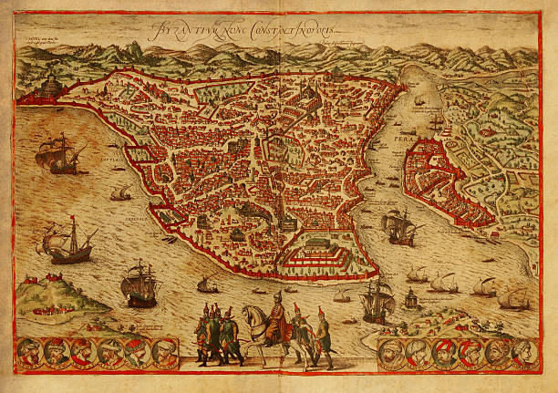
Old engraving depicting map of Constantinopolis (Istanbul), the capital of the Byzantine and the Ottoman empires. Printed in 1572 by Braun and Hogenberg in Civitates Orbis Terrarum. Photo by N. Staykov (2007)Click on thumbnails below for more images of Istanbul:

Old world map with frame. Retro design banner. Decorative antique museum picture. Element for marine theme and heraldry. Vector paper texture.

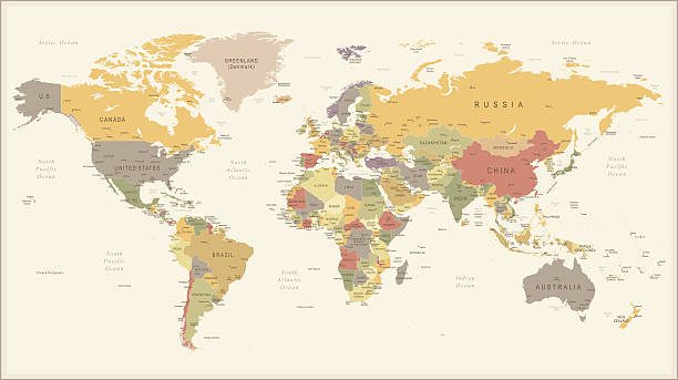
High Detailed World Map Color - borders, countries and cities - vector illustration
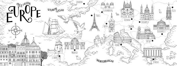
Hand drawn map of Southern Europe with selected capitals and landmarks, vintage web banner

Discover our diverse collection of 1851 Johann Heck antique stock images, perfect for digital creatives. Explore historical maps, intricate anatomical prints, detailed botanical illustrations, and rich zoology and geology engravings. Ideal for designers, educators, and content creators seeking authentic, high-quality visuals to elevate their projects. Unlock a world of inspiration and add a touch of historical depth to your digital work with our meticulously curated images.

World Travel! A stylized vector cartoon of the earth surrounded by Famous Landmarks,reminiscent of an old screen print poster and suggesting travel, tourism, and Globe trotting. Globe, skyline, Boats, planes, paper texture and background are on different layers for easy editing. Please note: clipping paths have been used, an eps version is included without the path.

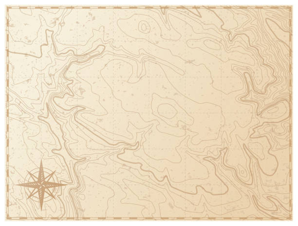
Vintage old map empty background. Blank treasure map on old paper texture backdrop. Parchment old map template

Topographic map background. Geographic line map with elevation assignments. Contour background geographic grid.
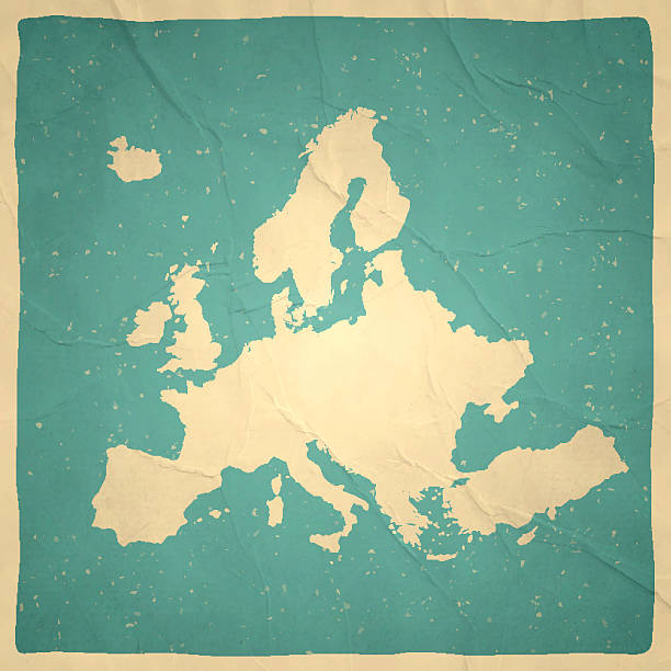
Map of Europe with a retro style, a vintage effect on an old textured paper.

Very Rare, Beautifully Illustrated Antique Victorian Engraved Colored Map of Europe Political Map Antique Victorian Engraved Colored Map, 1899. Source: Original edition from my own archives. Copyright has expired on this artwork. Digitally restored.

European cities symbols sketch. Hand drawn tourist collage. Vector Illustration

Medieval-fantasy looking map of Europe

Detailed retro political World Map. Highly detailed vector illustration of World Map.
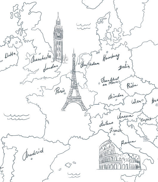
Hand drawn tourist map with sights of Europe, vector
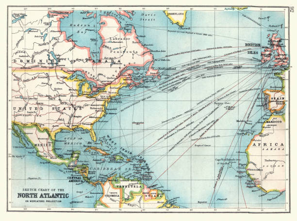
Vintage illustration Old Sketch chart of the North Atlantic on Mercator projection, Shipping routes, Europe, North and South America, 1890s, 19th Century

Map of Europe in a trendy vintage style. Beautiful retro illustration of an antique map with light rays in the background and on old textured paper. Included: Realistic texture of an old parchment (colors used: sepia, beige, brown). Vector illustration (EPS10, well superimposed and grouped). Easy to edit, manipulate, resize or colorize.
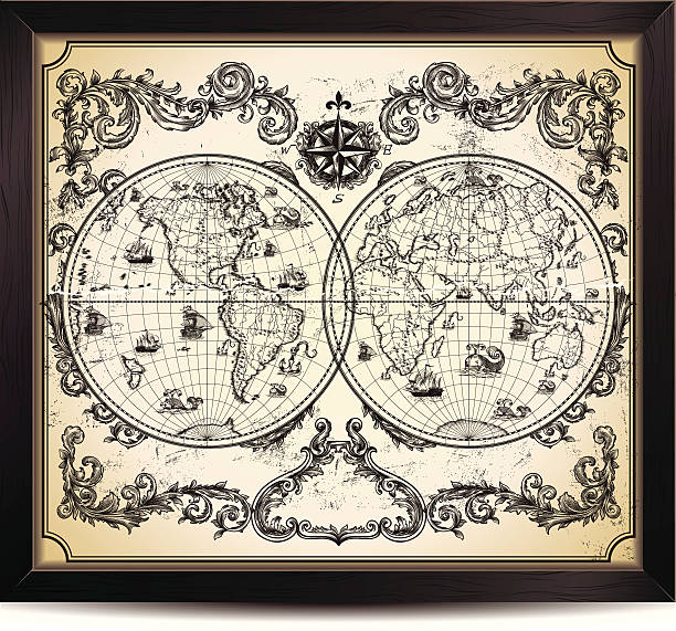
Vintage World Map in wood frame.
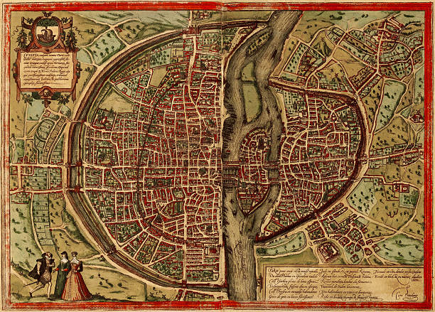
A medieval map of Paris, France, scanned from a XVII century original. Nice cartouches and vignetes and a nice example of decorative mapping. Published more than 300 years ago

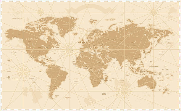
Old Vintage Retro World Map - Vector illustration

Manual of Geography by James Monotheist, New York - 1876
Meyers hand-Atlas Leipzig und Wien Verlag des Bibliographischen Instituts 1900

Map of United Kingdom in a trendy vintage style. Beautiful retro illustration with old textured paper and light rays in the background (colors used: blue, green, beige and black for the outline). Vector Illustration (EPS10, well layered and grouped). Easy to edit, manipulate, resize or colorize.
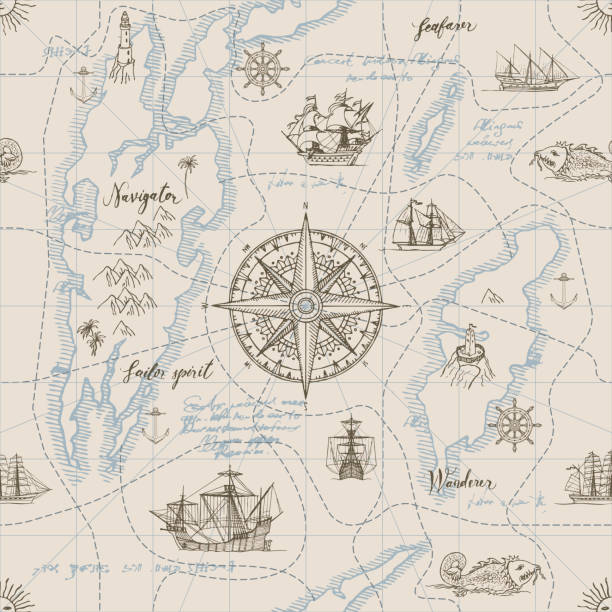
Vector abstract seamless background on the theme of travel, adventure and discovery. Old hand drawn map with vintage sailing yachts, wind rose, routs, nautical symbols and handwritten inscriptions

USA and Greenland on the map of North America in soft grunge and vintage style, like old paper with watercolor painting.

Old map of British Islands. Created by Laurence Nowell, published in England, 1564
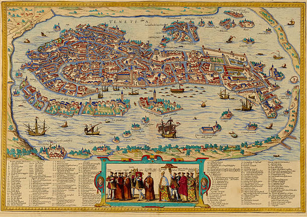
A medieval map of Venice, Italy, from a XVII century original. Nice cartouches and vignetes and a nice example of decorative mapping. See more Italian images and maps:

Map of Germany with the individual states at the outbreak of the French Revolution in 1789. Lithograph, published in 1893.

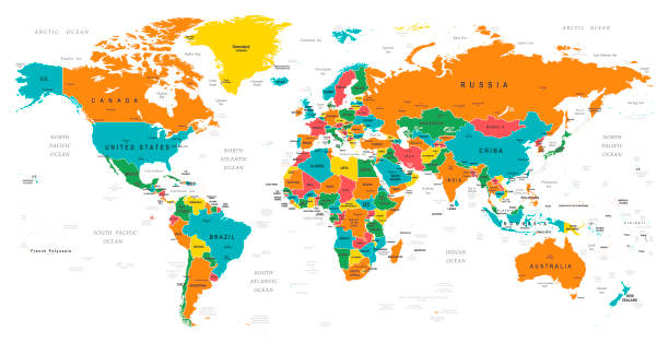
High-resolution political world map showing all countries with their borders, names, and major geographical features. The map displays continents, oceans, and national territories in different colors, providing a clear and detailed global overview. Ideal for educational, editorial, or design purposes.
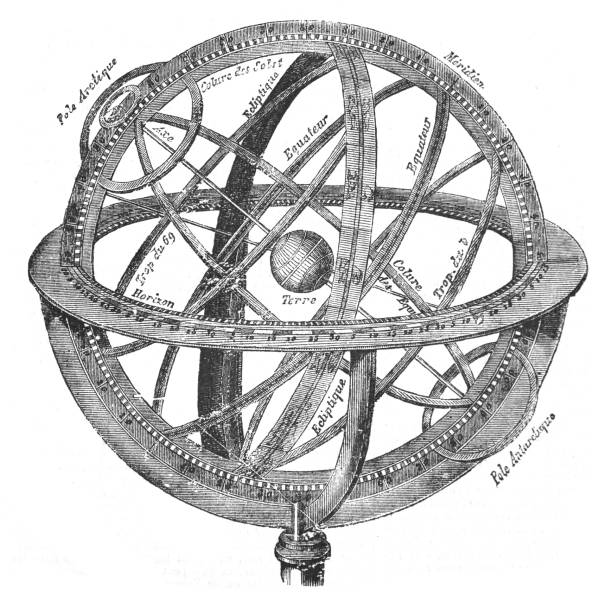
Vintage engraved illustration isolated on white background - Old globe - Armillary sphere diagram

Vector camper van travel summer adventures illustration. Retro caravan road trip. Road between mountains with pine trees, hot air balloons. Summer vacation and tourism in RV. Holiday nostalgia

Set of vintage antique wind rose nautical compass signs labels emblems elements. Vector illustration.
High detailed Illustration of World Map with Borders, Cities, Oceans and capitals and navigational icons