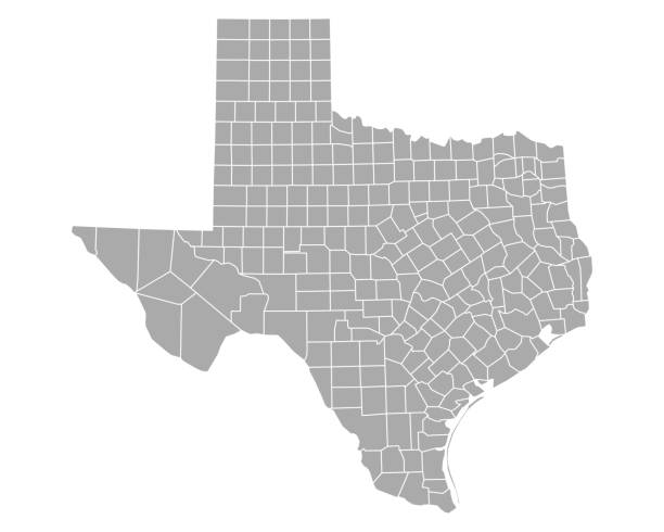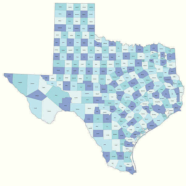
Detailed state-county map of Texas.
Browse 4,200+ texas district map stock illustrations and vector graphics available royalty-free, or start a new search to explore more great stock images and vector art.
Detailed state-county map of Texas.

highly detailed map from Texas state & counties for your design and products.

"Highly-detailed Texas county map. Each county is in a separate labeled layer. All layers have been alphabetized for easy manipulation, recoloring or other use. (see image below -- note: labels only available in AICS2 and AI10 files)"
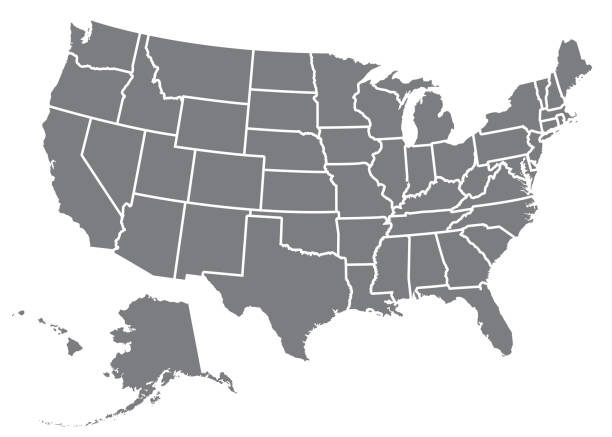
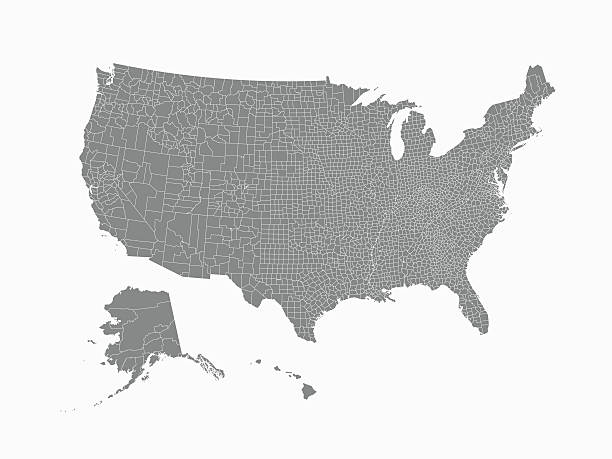
A silhouette of the USA, including Alaska and Hawaii. File is built in CMYK for optimal printing and the map is gray.

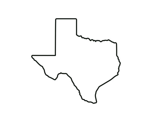
Texas - States of USA Outline Map Vector Template Illustration Design. Editable Stroke. Vector EPS 10.
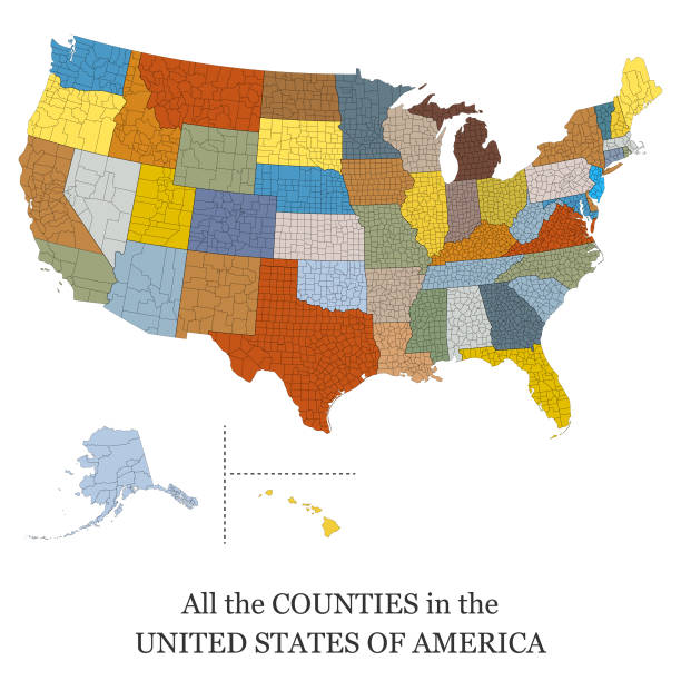
Vector illustration of a map of all the counties in the United States of America

3d map of Texas is a state of United States

Highly-detailed Texas county map. Each county is in it's own separate labeled layer. County names are in a separate layer and can be easily adjusted or removed as well. All layers have been alphabetized for easy manipulation, recoloring or other use.

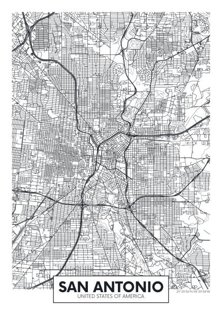
Topographic / Road map of Amarillo, TX. Map data is public domain via census.gov. All maps are layered and easy to edit. Roads are editable stroke.

Vector of Highly Detailed Map of Texas State of the United States of America - The url of the reference file is : https://www.cia.gov/library/publications/the-world-factbook/graphics/ref_maps/pdf/united_states.pdf

Detailed map of Bexar county in Texas, USA
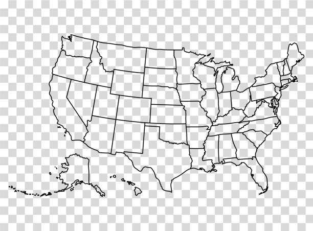
Map of the United States in outline on a transparent background. Vector illustration in HD very easy to make edits.

Topographic / Road map of Waco, TX. Map data is public domain via census.gov. All maps are layered and easy to edit. Roads are editable stroke.
Texas state map. US state map. Texas outline symbol. Vector illustration
road vector map of the US states texas
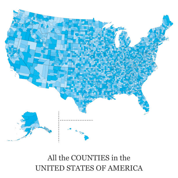
Vector illustration of a map of all the counties in the United States of America

Texas, U.S. state, gray political map with borders and county names. State in the South Central region of the United States, subdivided into 254 counties. Nicknamed The Lone Star State. Illustration

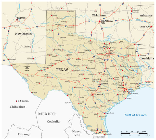
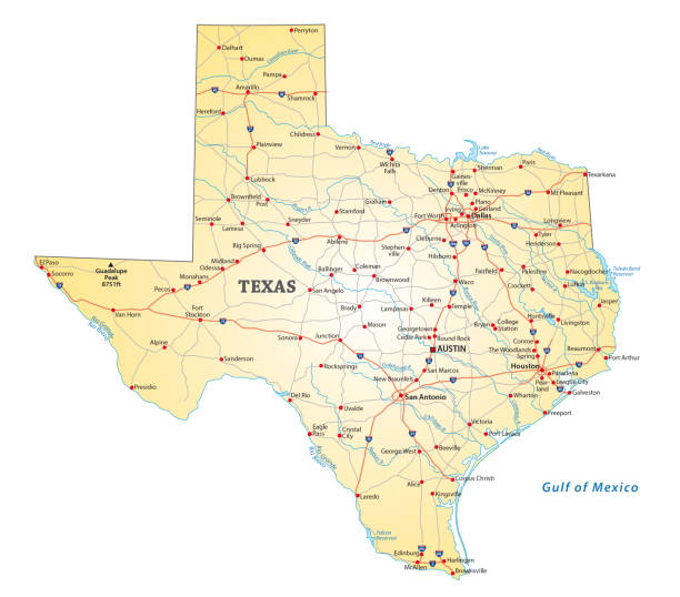
Texas state detailed editable map with cities and towns, geographic sites, roads, railways, interstates and U.S. highways. Vector EPS-10 file, trending color scheme
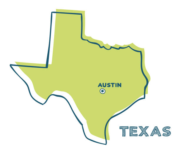
Doodle vector map of Texas state of USA. With legends of state and capital

texas administrative and political map with flag
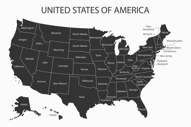
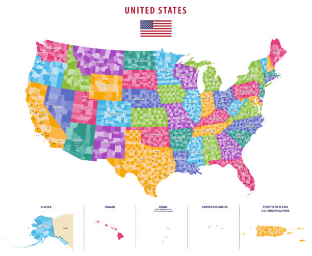
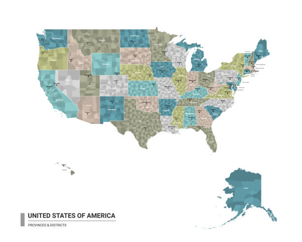
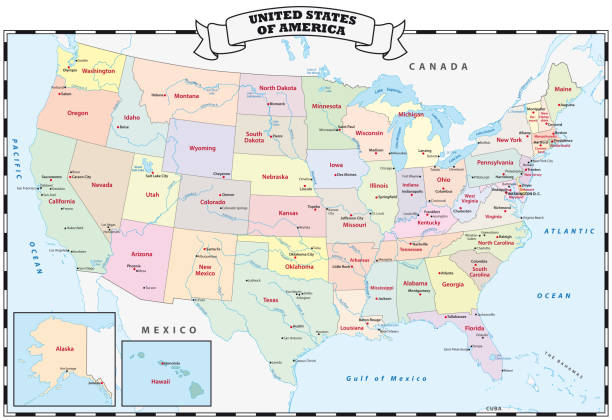
USA map with states names. United States of America cartography. Vector illustration.
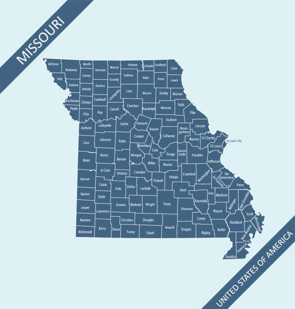
Highly detailed map of Missouri county state of United States of America for web banner, mobile, smartphone, iPhone, iPad applications and educational use. The map is accurately prepared by a map expert.

Vector illustration of a map of all the counties in the United States of America

illustration of Texas state map for your design and products.

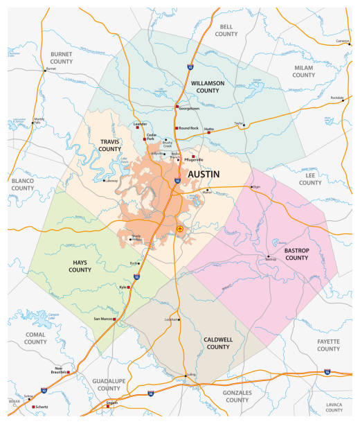
Map of Travis County - Texas, isolated on a blank background and with his name on a red ribbon. Vector Illustration (EPS file, well layered and grouped). Easy to edit, manipulate, resize or colorize. Vector and Jpeg file of different sizes.

vector of the Texas map

All elements were drawn in a vector graphics editor and design program. Elements and layers are well organized, separable, detachable and easy to use and edit. Map data is in the public domain, available from the United States Census Bureau via census.gov

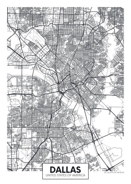
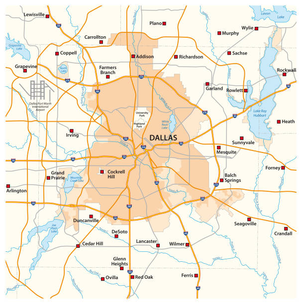
Dallas TX City Vector Road Map Blue Text. All source data is in the public domain. U.S. Census Bureau Census Tiger. Used Layers: areawater, linearwater, roads.
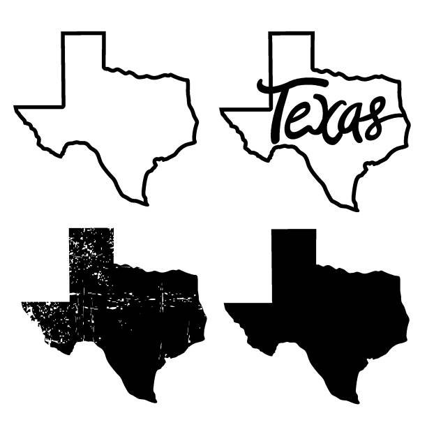
Texas map Vector illustration of Texas maps black background silhouette with text isolated on white for design. Texas sign symbol
Detailed map of Texas with capital and navigation icon.

black outline of Texas map- vector illustration
© 2024 iStockphoto LP. The iStock design is a trademark of iStockphoto LP. Browse millions of high-quality stock photos, illustrations, and videos.
Do Not Sell or Share