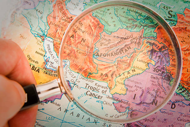
"Studying Geography - Photograph of Afghanistan, Pakistan and surrounding countries on retro globe underneath a magnifying glass."
Browse 580+ afghanistan provinces stock photos and images available, or start a new search to explore more stock photos and images.
"Studying Geography - Photograph of Afghanistan, Pakistan and surrounding countries on retro globe underneath a magnifying glass."
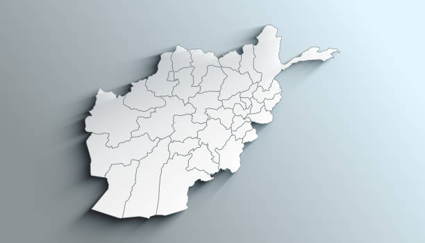
Vector illustration of Map of Afghanistan.

Highly detailed Afghanistan map with borders isolated on background. Simple flat icon illustration for web

Vector illustration of Map of Afghanistan.

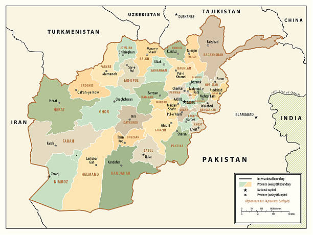
Detailed map of Afghanistan with surroundings, provinces, capital and flag.

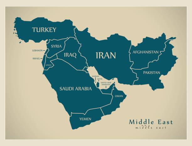
Studying Geography - Photograph of the Middle East on retro globe. Shallow depth of field with focus on Afghanistan.

- Isolated vector highly detailed political map with regions, provinces and capital. All elements are separated in editable layers EPS 10.

Large and detailed map of the state of Afghanistan.

Black outline political map of Afghanistan. Administrative divisions - provinces. Simple flat vector map with labels.

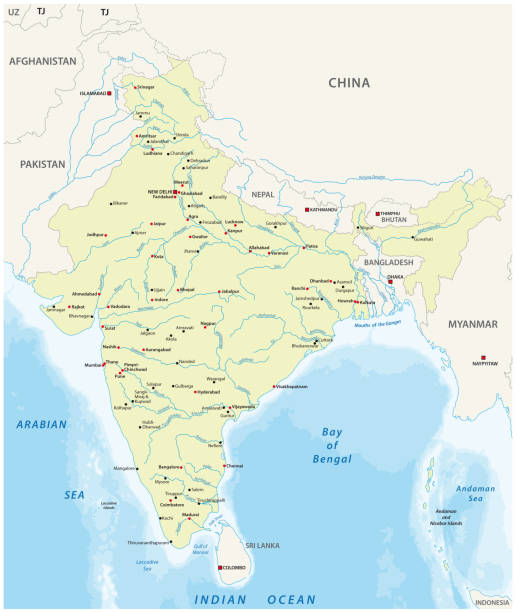
Pakistan administrative and political vector map

Plane wreck lying on the barren land in Afghanistan

A colorful globe is photographed, showing the area of the Middle East.

High quality political map of Pakistan and Afghanistan with borders of the regions or provinces. Vector illustration

pakistan and afghanistan vector map

black silhouette map of the country of Tripura in India on white background

black silhouette map of the state of Gujarat in India on white background

india administrative and political zones vector map

Afghanistan administrative and political vector map with flag

Sunrise and Security Balloon Kabul Afghanistan
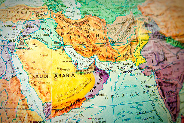
Studying geography - Photograph of the Middle East on retro globe.

Faizabad is the north-eastern most city in Afghanistan, in the province of Badakhshan. It is built around a curve in the river, and is divided into the old city, on the Northern bank and the new city, more visible in this photo. A buzkashi field can be seen in the lower right.

Vector dotted map of Afghanistan

Afghanistan political map of administrative divisions - provinces. 3D colorful vector map with name labels.

Pakistan and Afghanistan military map with capitol

Large and detailed map of the state of Afghanistan.

Large and detailed map of the state of Afghanistan.

Large and detailed water map of the state of Afghanistan.
black silhouette map of Bhopal city in India on white background

Large and detailed map of the state of Afghanistan
Country Political Geographical Map of Afghanistan with Provinces with Shadows

http://dikobraz.org/map_2.jpg

Scenic panorama of valley in Afghanistan

Afghanistan vector road map with important cities.

Large and detailed map of the afghan province of Helmand

Isolated colored map of Afghanistan with borders of the regions

picture taken in Greshk district Helmand Province Afghanistan February 08 2022 two men walking inside Amir Agha Shrine

Transparent - High Detailed Grey Map of Afghanistan. Vector Eps 10.

black silhouette map of the city of Bordj Bou Arreridj in Algeria on white background
© 2025 iStockphoto LP. The iStock design is a trademark of iStockphoto LP. Browse millions of high-quality stock photos, illustrations, and videos.
Do Not Sell or Share