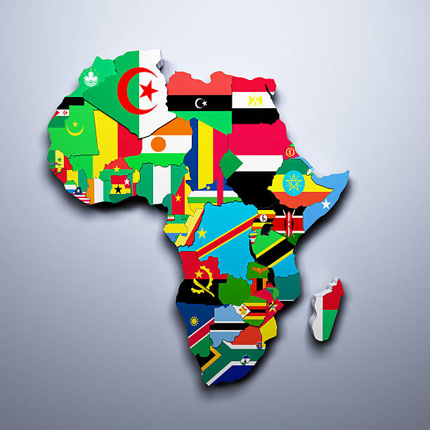
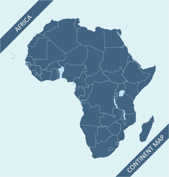
Africa regions political map with single countries. United Nations geoscheme. Northern, Western, Central, Eastern and Southern Africa in different colors. English labeling. Illustration. Vector.
Browse 14,300+ central africa map stock photos and images available, or start a new search to explore more stock photos and images.
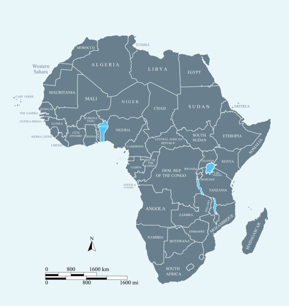
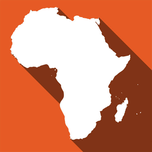
Africa regions political map with single countries. United Nations geoscheme. Northern, Western, Central, Eastern and Southern Africa in different colors. English labeling. Illustration. Vector.
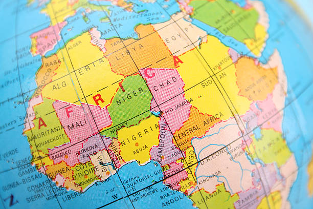
Closeup view of northern and central Africa section of cheap plastic globe

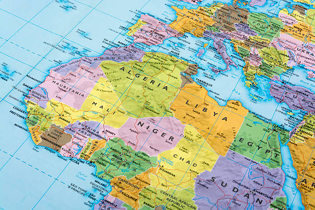
Highly detailed physical map of northern and western Africa in vector format,with all the relief forms,regions and big cities.
Vector illustration. Africa political map with country names.

Close-up of Africa in the colorful world map.
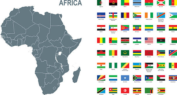
Map of Africa with labeled countries and capital cities. All elements grouped in their own layers, labeled and alphabetized for easy editing. (See screenshot.) EPS 10 file. Transparency effects used longitude and latitude lines.
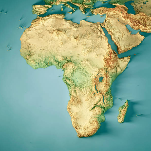
3D Render of a Topographic Map of Africa. All source data is in the public domain. Color texture: Made with Natural Earth. http://www.naturalearthdata.com/downloads/10m-raster-data/10m-cross-blend-hypso/ Relief texture: GMTED2010 data courtesy of USGS. URL of source image: https://topotools.cr.usgs.gov/gmted_viewer/viewer.htm Water texture: HIU World Water Body Limits: http://geonode.state.gov/layers/?limit=100&offset=0&title__icontains=World%20Water%20Body%20Limits%20Detailed%202017Mar30
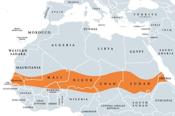
The Sahel, a region in Africa, political map. Ecoclimatic and biogeographic realm of transition between the Sahara to the north and the Sudanian savanna to the south, having a hot semi-arid climate.

Central Africa country detailed editable map with regions cities and towns, roads and railways, geographic sites. Vector EPS-10 file
This vector map of Africa continent is accurately prepared by a GIS and remote sensing expert with highly detailed information.
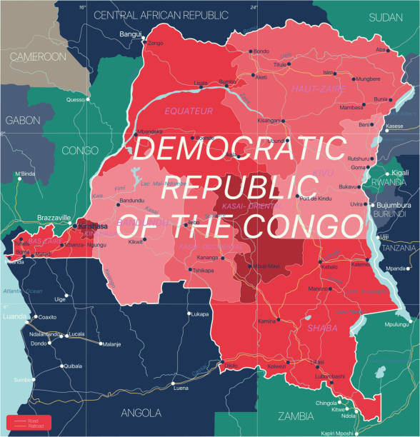
Democratic Republic of Congo country detailed editable map with regions cities and towns, roads and railways, geographic sites. Vector EPS-10 file

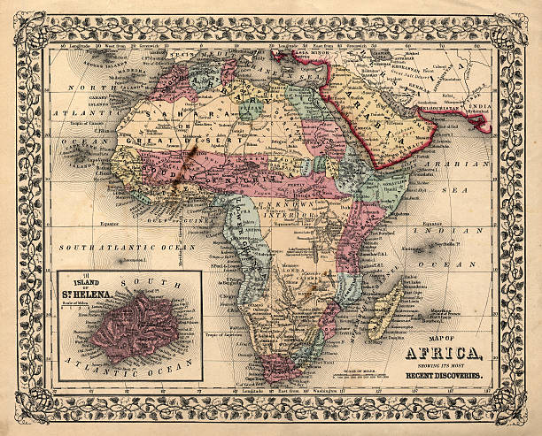
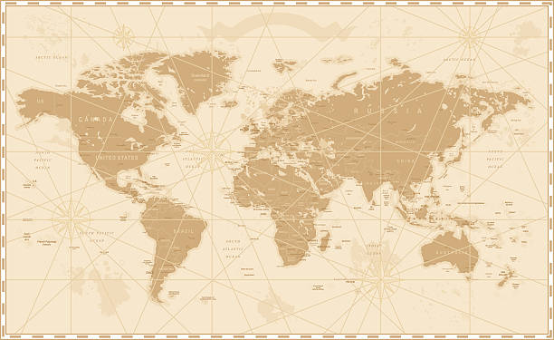
Africa Map - Vintage Detailed Vector Illustration
Old World Map - Vector Illustration Source map references: hhttp://www.lib.utexas.edu/maps/world_maps/time_zones_ref_2011.pdf http://www.lib.utexas.edu/maps/world_maps/txu-oclc-264266980-world_pol_2008-2.jpg (some cities) Creation date: March 10, 2016 Software: Adobe Illustrator CS5 Used layers: 1 (detailed outline of the map)
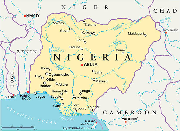
Political map of Nigeria with capital Abuja, national borders, most important cities, rivers and lakes. Vector illustration with English labeling and scaling.
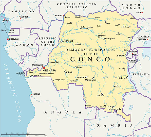
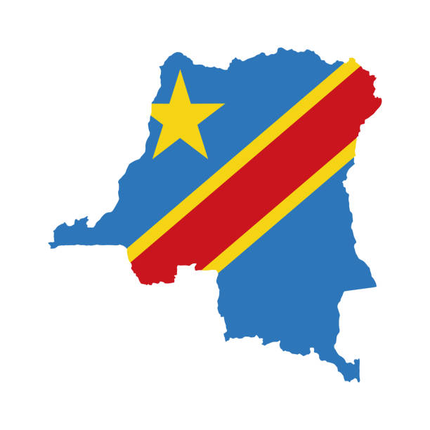
Congo Democratic Republic Political Map with capital Kinshasa, national borders, most important cities, rivers and lakes. Illustration with English labeling and scaling.
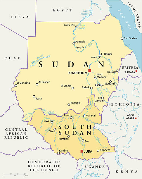
Political map of Sudan and South Sudan with capitals Khartoum and Juba, with national borders, most important cities, rivers and lakes. Vector illustration with English labeling and scaling.

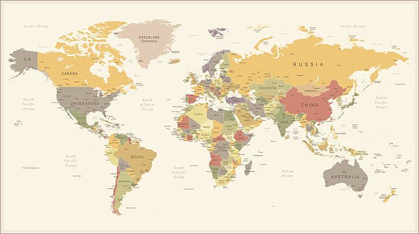
Old Vintage Retro World Map - Vector illustration
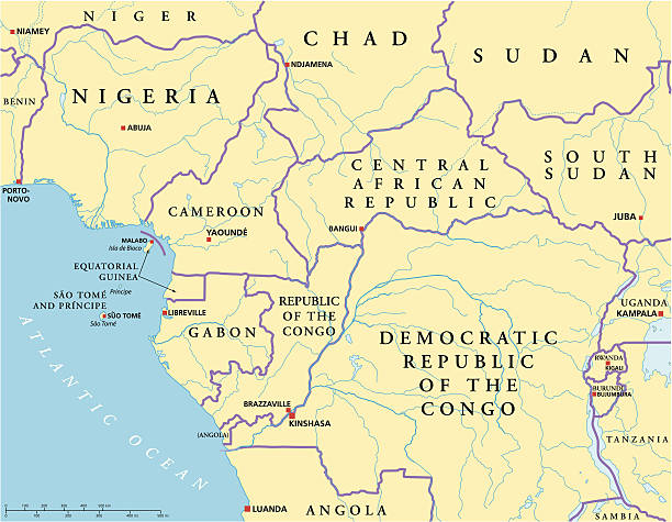
West Central Africa Political Map with capitals, national borders, rivers and lakes. Illustration with English labeling and scaling
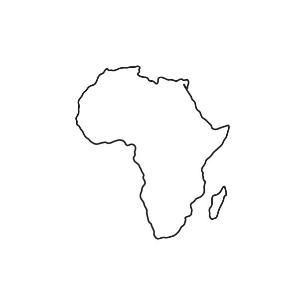
Africa map vector outline illustration with countries borders in blue background. Highly detailed accurate map of African continent prepared by a map expert.
+++ Note to Inspector: URL of source images: http://earthobservatory.nasa.gov/Features/BlueMarble/BlueMarble_monthlies.php +++
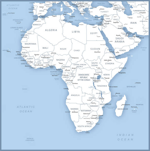
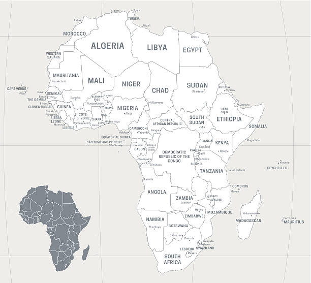
Map of African Continent with names of countries, capitals and cities. Vector illustration
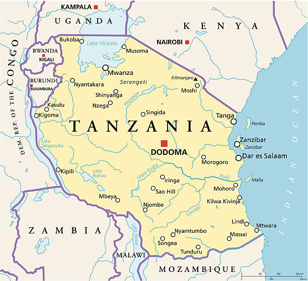
Political map of Tanzania with capital Dodoma, national borders, most important cities, rivers and lakes. Vector illustration with English labeling and scaling.
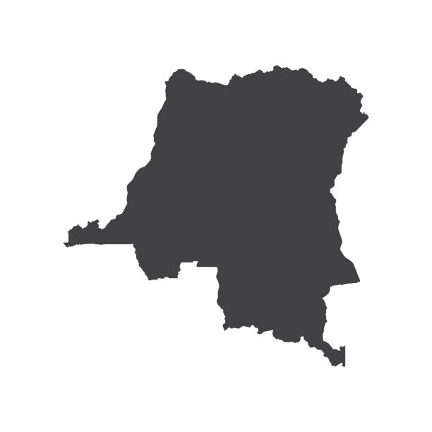
Democratic Republic of the Congo map silhouette on the white background. Vector illustration

Section of an antique globe, showing southern Africa.
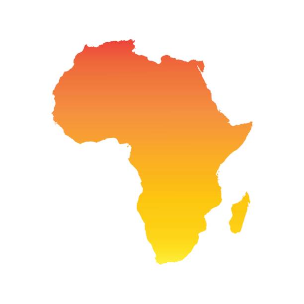
Map of Africa. Vector illustration in HD very easy to make edits.
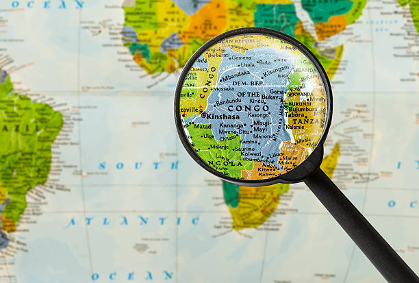
Map of Democratic Republic of the Congo through magnifying glass
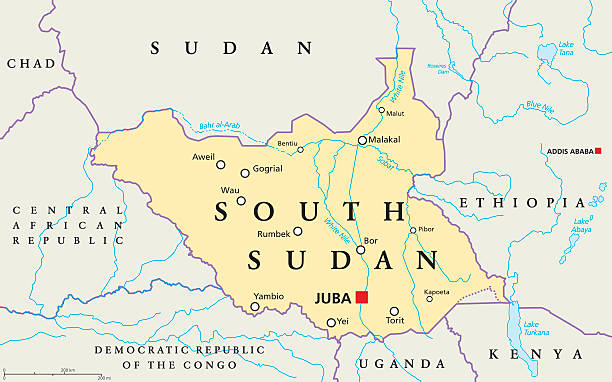
South Sudan political map with capital Juba, national borders, important cities, rivers and lakes. Illustration with English labeling and scaling.
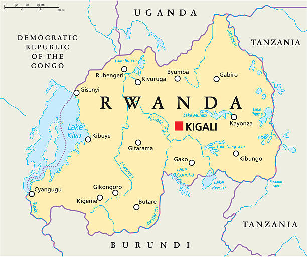
Rwanda Political Map with capital Kigali, national borders, important cities, rivers and lakes. English labeling and scaling. Illustration.

Part of Central Africa, a subregion of the African continent, political map, with capitals, borders and largest cities. Gabon, the Republic of the Congo, Sao Tome and Principe, and Equatorial Guinea.
Empty Dark Gray World Map - illustration
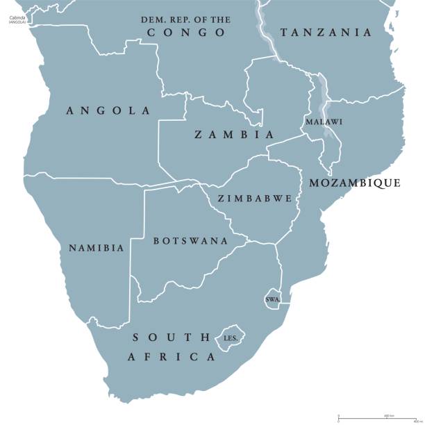
Southern Africa political map with borders of the countries and English labeling. The southernmost region of the African continent. Gray illustration on white background. Vector.
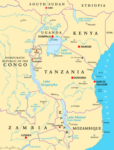
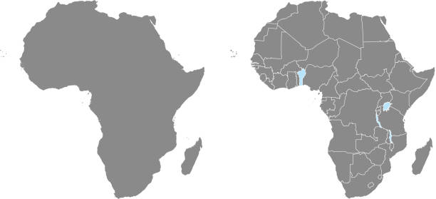
African Great Lakes. Political map with capitals, borders, important cities, rivers and lakes. Lake Victoria, Tanganyika, Malawi, Turkana und the smaller ones. English labeling. Illustration. Vector.
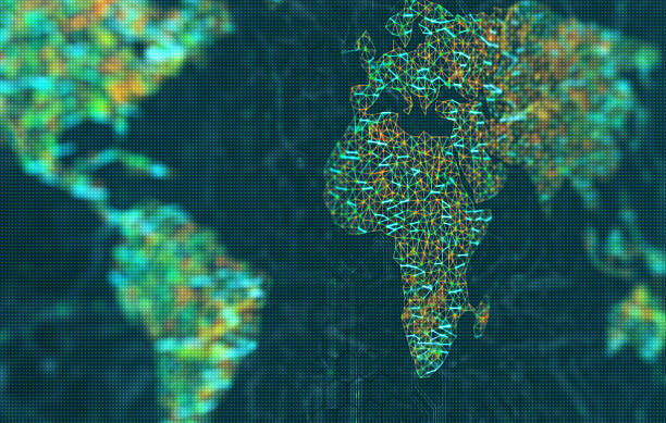
The map of the world represented by illuminated digital connections. 3D image with depth of field on a LED screen.

Africa Map - Vintage Detailed Vector Illustration

Vector isolated illustration with African continent with borders of all states. Grey political map. White background and outline

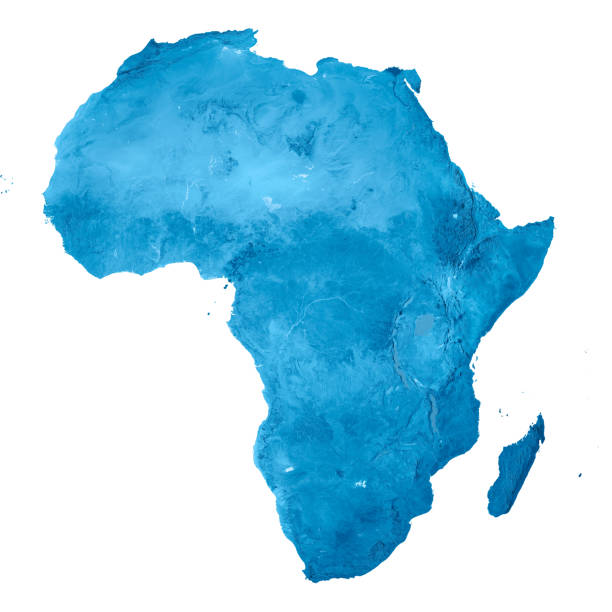
Highly detailed physical map of Africa.

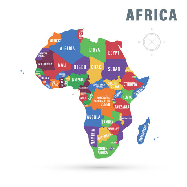
Political Map of Africa. Vector Illustration. Map with Name of Countries Isolated on White.
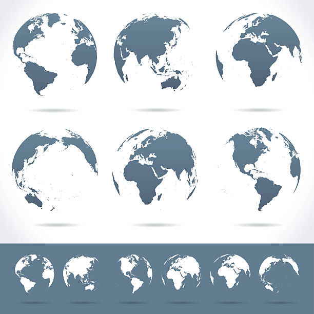
Vector set of different globe views.

Zambia Political Map with capital Lusaka, national borders, most important cities, rivers and lakes. Illustration with English labeling and scaling.
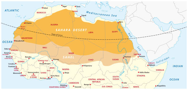
Vector map of the Sahara desert and Sahel zone
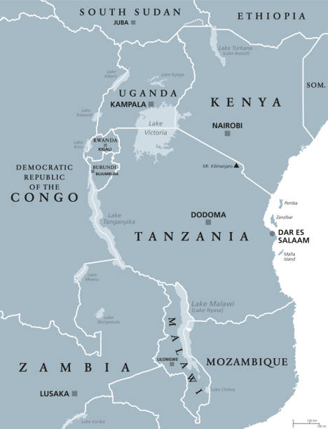
African Great Lakes. Political map with capitals and borders. Lake Victoria, Tanganyika, Malawi, Turkana und smaller ones. English labeling. Gray illustration on white background. Vector.

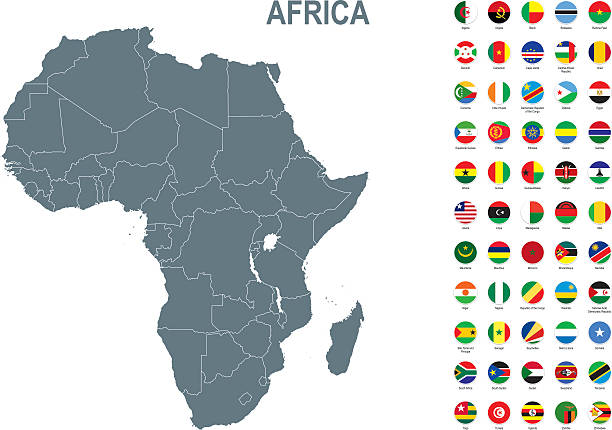
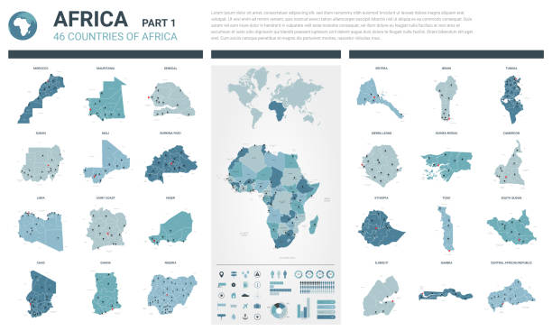
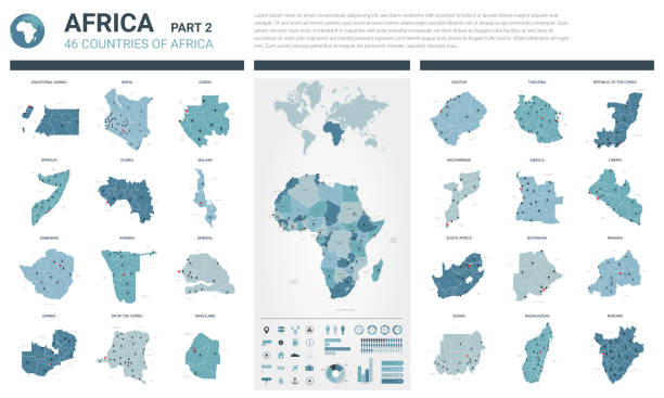
Vector maps of Africa with variable specification and icons
© 2025 iStockphoto LP. The iStock design is a trademark of iStockphoto LP. Browse millions of high-quality stock photos, illustrations, and videos.
Do Not Sell or Share