
Fairhope, Alabama
Browse 3,700+ mobile bay stock photos and images available, or search for mobile bay alabama to find more great stock photos and pictures.

Eastern Shore of Mobile Bay at sunset in Daphne, Alabama

Downtown Mobile, Alabama waterfront skyline in Mobile, Alabama, United States

Sunset on Mobile Bay in Daphne, Alabama USA

Aerial view of the downtown Mobile, Alabama skyline and the Mobile River on a summer day

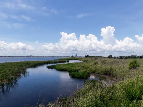
Aerial view of Perdido Key and Ono Island in June

Aerial view of Robinson Island in Saint John Bayou and Perdido Pass at Orange Beach, AL.

Aerial view of the Cochrane Africatown Bridge and the downtown Mobile, Alabama skyline

Mobile AL City Vector Road Map Blue Text. All source data is in the public domain. U.S. Census Bureau Census Tiger. Used Layers: areawater, linearwater, roads.

Sunset on the eastern shore of Mobile Bay in Daphne, Alabama
Aerial view of Mobile Bay, Alabama after a storm

Aerial view of the Mobile, Alabama river at sunset in January

Rain falls on Mobile Bay as seen from Fairhope, Alabama, on the afternoon of Sept. 20, 2023.

Aerial view of Dauphin Island, Alabama and Fort Gaines

Beautiful sunset on Mobile Bay from Daphne, Alabama Bayfront Park

Aerial view of the boardwalk and waterfront at Mobile Bay in Daphne, Alabama

"Sand Island Lighthouse at the mouth of Mobile Bay in Alabama. Slightly visible from land, it's best seen by boat."
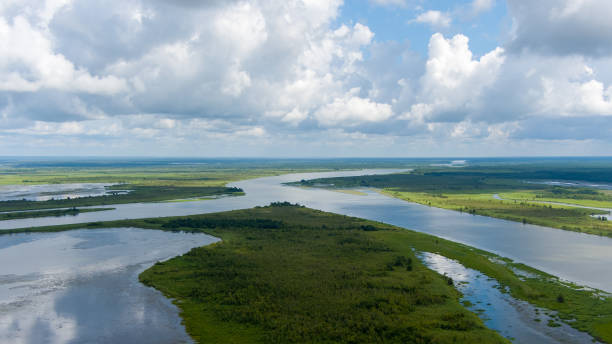
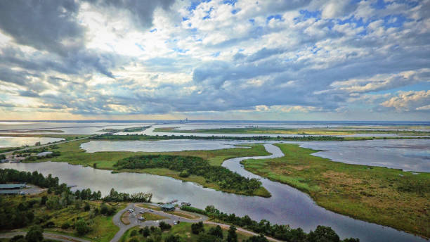
Aerial view of Big Island between Apalachee and Blakeley rivers in Spanish Fort, Alabama

Vacant since about 1935, the Middle Bay Lighthouse still stands as one of the few remaining screw-pile lighthouse still on the water. One of the supports was damaged by a shrimp boat and the lighthouse itself suffered damage from Hurricane Katrina.

Mobile Bay, Alabama at sunset in Spanish Fort, Alabama, United States
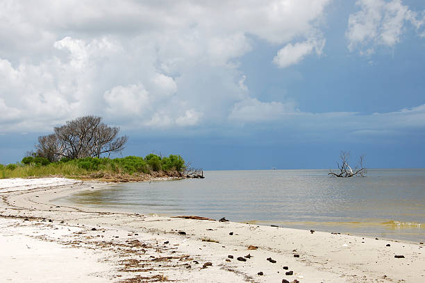
Navy Cove on the Mobile Bay side of the Fort Morgan peninsula. On the Alabama Gulf Coast.
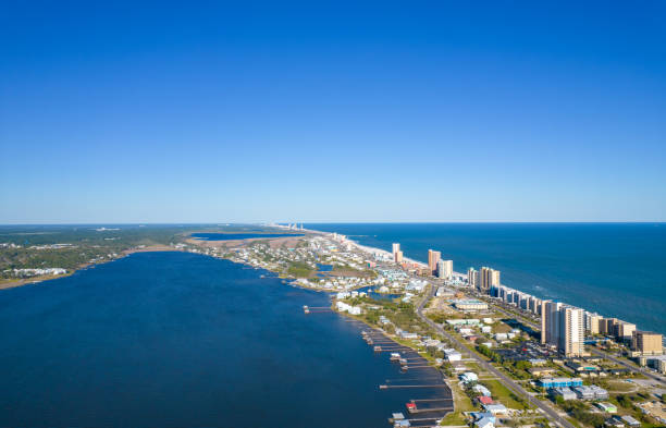
Aerial view of Gulf Shores and Little Lagoon on the Alabama Gulf Coast

"Bridge connecting Dauphin Island, Alabama to the Mainland."

Alabama Gulf Coast sunset on the eastern shore of Mobile Bay

Aerial establishing shot of Mobile, Alabama at sunset.

The Fairhope, Alabama Municipal Pier in January of 2023

Evening sky along Mobile Bay on the Alabama Gulf Coast

Aerial view of Mobile Bay and the Fairhope, Alabama municipal pier at sunset

3D Render of a Topographic Map of the State of Alabama, USA. All source data is in the public domain. Boundaries Level 1: USGS, National Map, National Boundary Data. https://viewer.nationalmap.gov/basic/#productSearch Relief texture and Rivers: SRTM data courtesy of USGS. URL of source image: https://e4ftl01.cr.usgs.gov//MODV6_Dal_D/SRTM/SRTMGL1.003/2000.02.11/ Water texture: SRTM Water Body SWDB: https://dds.cr.usgs.gov/srtm/version2_1/SWBD/

American paddlefish (Polyodon spathula). Wild life animal.

Aerial view of Mobile Bay, Alabama at sunset

Aerial view of the USS Alabama Battleship Park at sunrise in October 2023
Aerial view of Mobile Bay, Alabama after a storm

Pier on Mobile Bay at sunset in Daphne, Alabama, United States

Sunset on Mobile Bay from Daphne, Alabama in August 2019
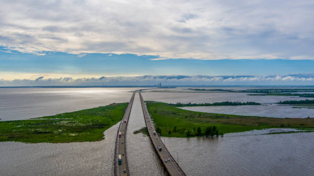
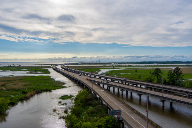
Mobile Bay, Alabama along the causeway

Mobile Bay causeway at sunset on the Alabama Gulf Coast in Spanish Fort, Alabama, United States

Mobile Bay causeway and city skyline at sunset

Aerial view of the Mobile River at Mobile, Alabama in October

The downtown Mobile, Alabama waterfront skyline in August

Sunset on the Gulf Coast from Bayfront Park in Daphne, Alabama

Pier located on Mobile Bay, Alabama

Fort Morgan beach in Gulf Shores, Alabama

A long exposure boathouse in the early morning light.

Gulf Shores is famous for its white sand beaches and great weather
Photos of Mobile Bay during different times and weather

Map with the journey of the Clotilda, the last American slave ship

sunset at bayfront park in daphne, alabama in Daphne, Alabama, United States

Aerial view of Perdido Key and Ono Island in June
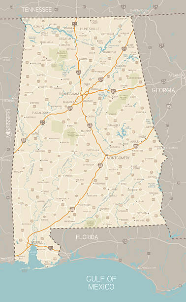
A detailed map of Alabama state with cities, roads, major rivers, and lakes plus National Forests. Includes neighboring states and surrounding water.

Aerial view of the downtown Mobile, Alabama skyline and the Mobile River on a summer day

Offshore oil-rig in Mobile Bay, United States

Fort Gaines at Dauphin Island, Alabama in Dauphin Island, Alabama, United States

The Fairhope pier and Mobile Bay at sunset on the Alabama Gulf Coast
© 2025 iStockphoto LP. The iStock design is a trademark of iStockphoto LP. Browse millions of high-quality stock photos, illustrations, and videos.
Do Not Sell or Share