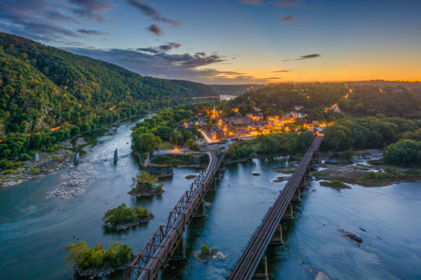
Images
West Virginia Colors Pictures, Images and Stock Photos
Browse 8,200+ west virginia colors stock photos and images available, or start a new search to explore more stock photos and images.
Most popular
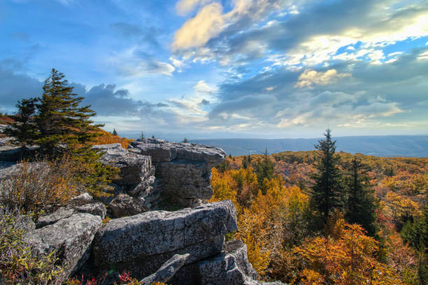
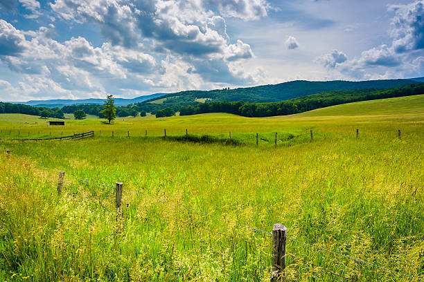
The 17,371 acre Dolly Sods Wilderness in the Monongahela National Forest is part of the National Wilderness Preservation System. It is located in West Virginia. The Dolly Sods Wilderness contains bog and heath eco-types, more commonly typical to southern Canada. Elevations range from 2,500 to over 4,700 feet.
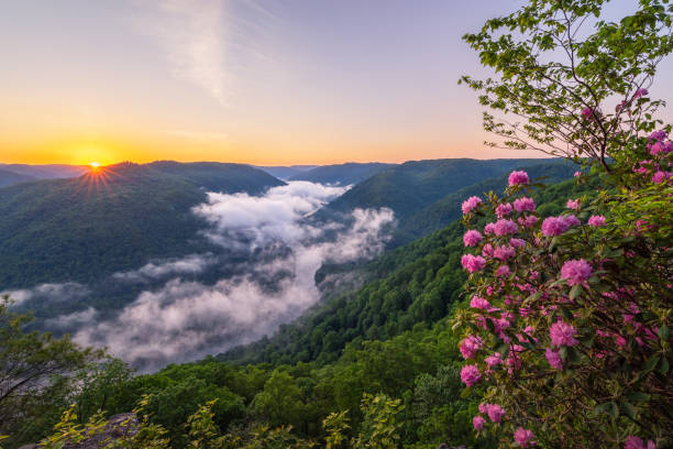
The sun rises over Grandview at the New River Gorge National Park in West Virginia as morning fog rolls through above the river lined with spring time rhododendron blooms.

West Virginia flat map with long shadow available in four colors

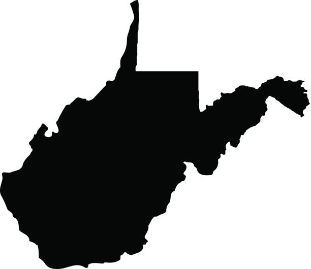
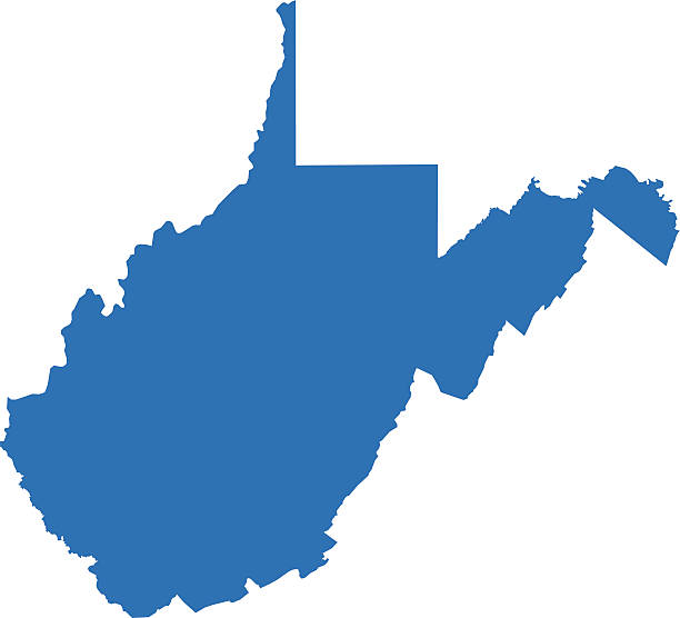
West Virginia, state of USA - solid black silhouette map of country area. Simple flat vector illustration.
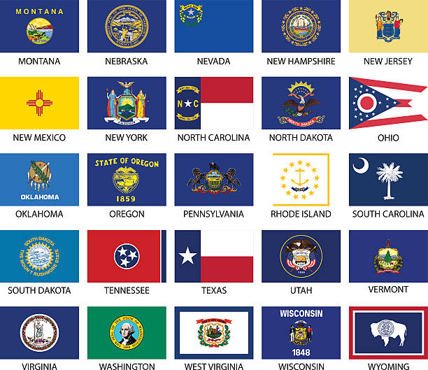
USA states flags. Each flag on its own layer.
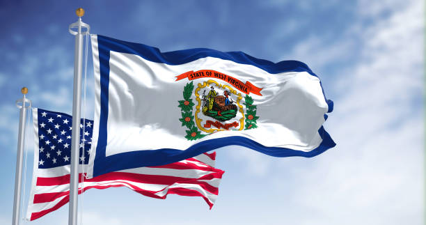
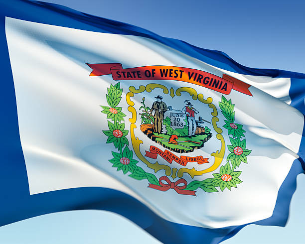
The West Virginia state flag waving along with the national flag of the United States of America. West Virginia is a state in the Southeastern region of the United States
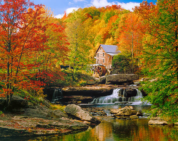
Picturesqe old Glade Creek Grist Mill with waterwheel and stream, in a blazing autumn colors setting. Babcock State Park.

Vibrant sunrise over Grandview in New River Gorge National Park during the fall season in the Appalachian Mountains of West Virginia, USA.
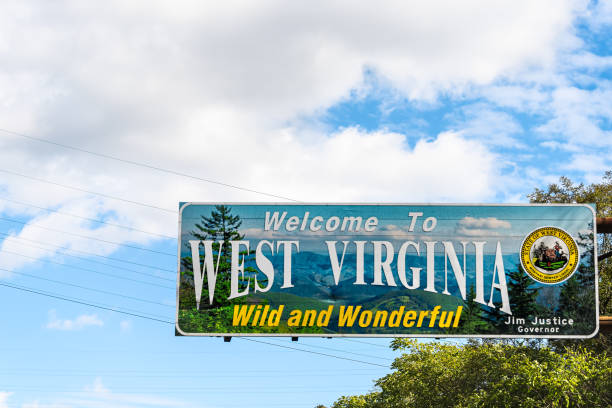
Kenova, USA - October 17, 2019: Welcome to West Virginia sign Wild and Wonderful with mountains picture and blue sky by Kentucky border

West Virginia, state of USA - solid black outline map of country area. Simple flat vector illustration.
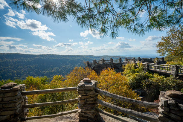
View from Lindy Point in West Virginia with sunlight lighting autumn trees


View of the New River Gorge Bridge in West Virginia from the Fayette Station bridge.

West Virginia county map outline vector in gray color
Map of West Virginia State in USA. Detail from the World Map.

Couple enjoying a vibrant sunset view from Beauty Mountain in New River Gorge National Park during the fall season in the Appalachian Mountains of West Virginia, USA.

Aerial drone the interstate I68 bridge and traffic near Morgantown, West Virginia

The view from the top of Seneca Rocks on a beautiful summer day. Seneca Rock, located in the Monongahela National Recreational Area in West Virginia.
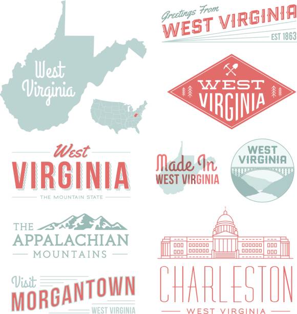
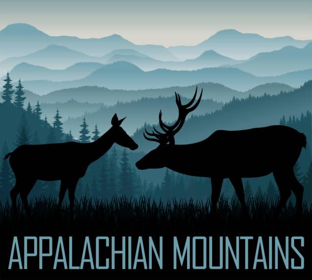
A set of vintage-style icons and typography representing the state of West Virginia, including the Appalachian Mountains, Morgantown and Charleston. Each items is on a separate layer. Includes a layered Photoshop document. Ideal for both print and web elements.

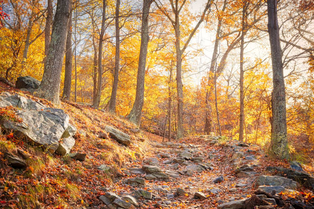
View up the Cheat River in narrow wooded gorge in the autumn with Coopers Rock overlook in the colorful trees near Morgantown, West Virginia

West Virginia state map. US state map. West Virginia outline symbol. Vector illustration

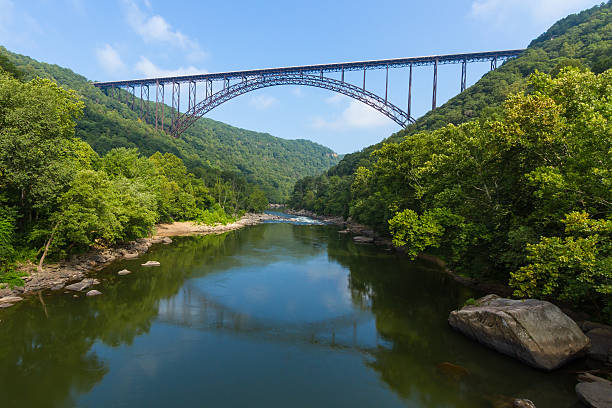
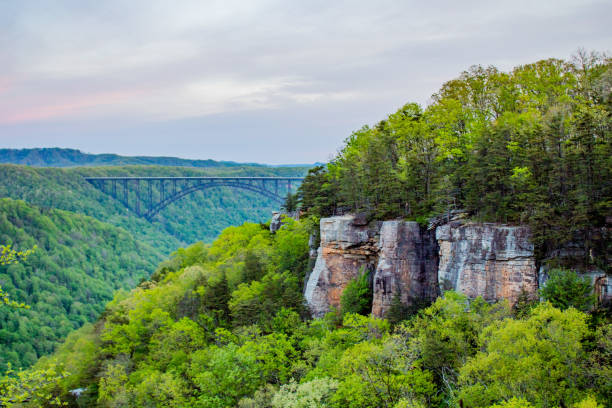
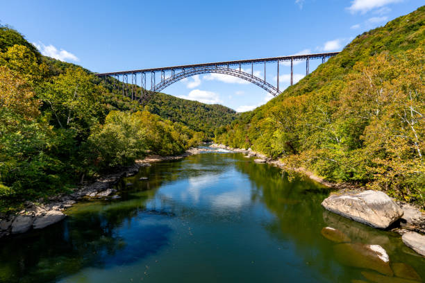
The bridge over the New River Gorge in West Virgina is the fourth longest steel single arch bridge in the world.


An aerial view of the sun setting behind boaters on the river during the Charleston Sternwheel Regatta.
West Virginia flag waving in the wind. Elaborate rendering including motion blur and even a fabric texture (visible at 100%).
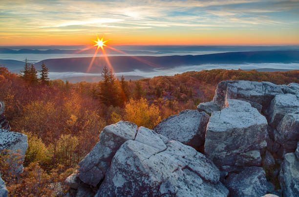
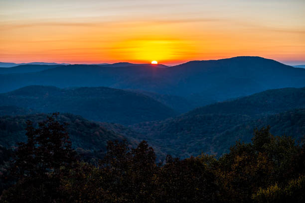
Sunrise on Dolly Sods over the Mountains of West Virginia
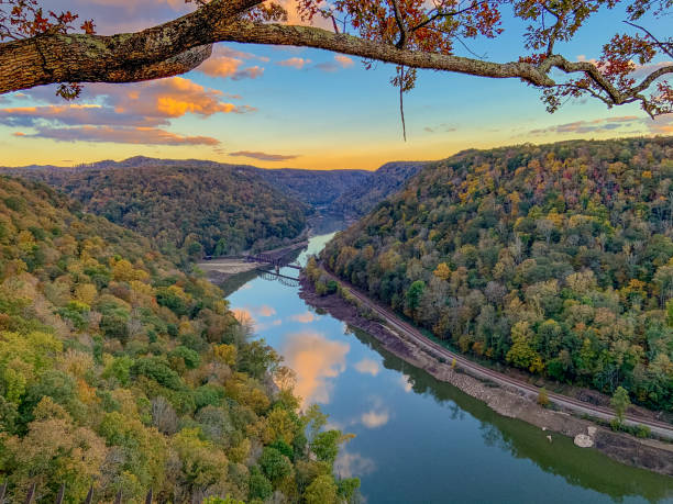
Sunset reflections on the New River in West Virginia

Hues of purple and pink of the early predawn light reflect in the waters of the Blackwater River on a late summer morning sunrise in West Virginia.

A rainbow appears to span the length of the canyon at the end of a storm with the setting sun casting an orange glow over the New River Gorge in West Virginia.
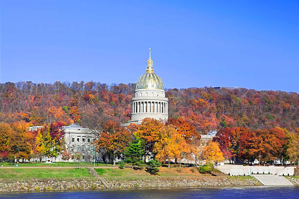
Capitol building surronded by Autumn leaves in their prime

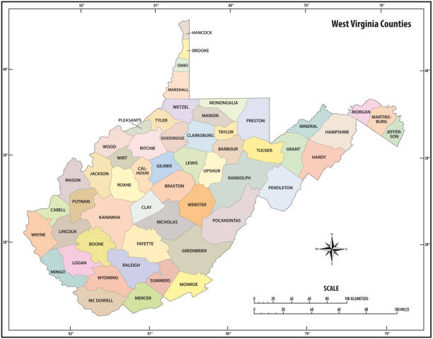
West Virginia counties, gray political map with borders and county names. Landlocked state in the Southeastern and Mid-Atlantic regions of the United States, subdivided into 55 counties. Illustration

Charleston, West Virginia skyline with the Kanawha River in the foreground and a blue sky with clouds.

The Capitol Building Of West Virginia On A Sunny Day In The City Of Charleston.


Line USA state, American map illustration, America vector isolated on white background, outline style
New River Bridge in New River Gorge National Park during the fall season in the Appalachian Mountains of West Virginia, USA.
Highly detailed map of West Virginia for your design and products.
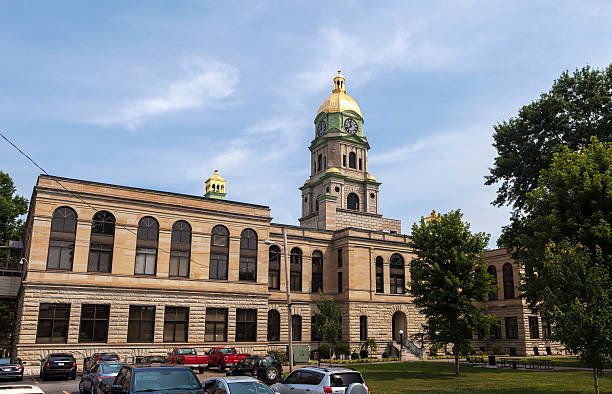
The Cabell County Courthouse in Huntington, West Virginia was built in 1899.
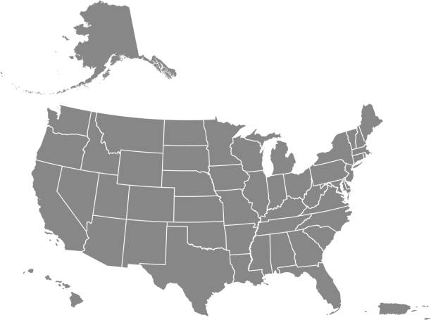
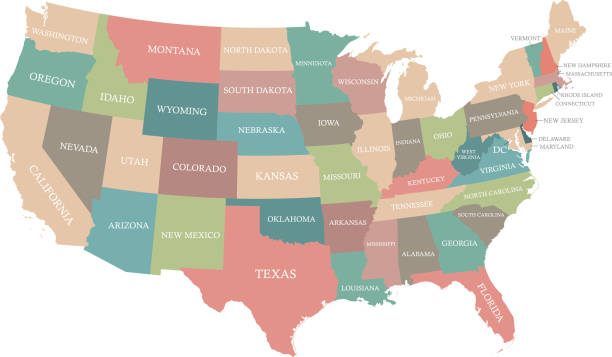
Downloadable map of United States of America. The spatial locations of Hawaii, Alaska and Puerto Rico approximately represent their actual locations on the earth.


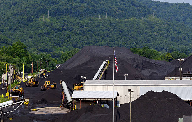
Mounds of coal are piled high awaiting shipment at a coal company terminal in West Virginia, USA. Part of the Appalachian Mountains are seen in the background.

Cheat River makes its way through narrow wooded gorge towards Cheat Lake near Morgantown, WV
Coopers Rock state park overlook over the Cheat River in narrow wooded gorge in the autumn. Park is near Morgantown, West Virginia

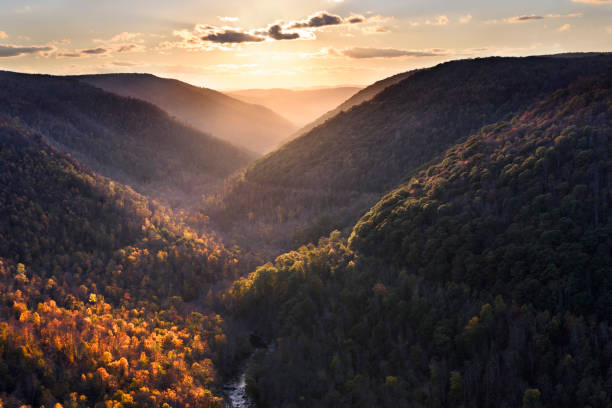
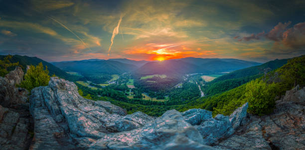
"Spectacular Autumn Panoramic of New River Gorge from Grandview Overlook, WV. Full autumn color.My favorite season of the year for photography. Lots of color in this lightbox!"
Next